
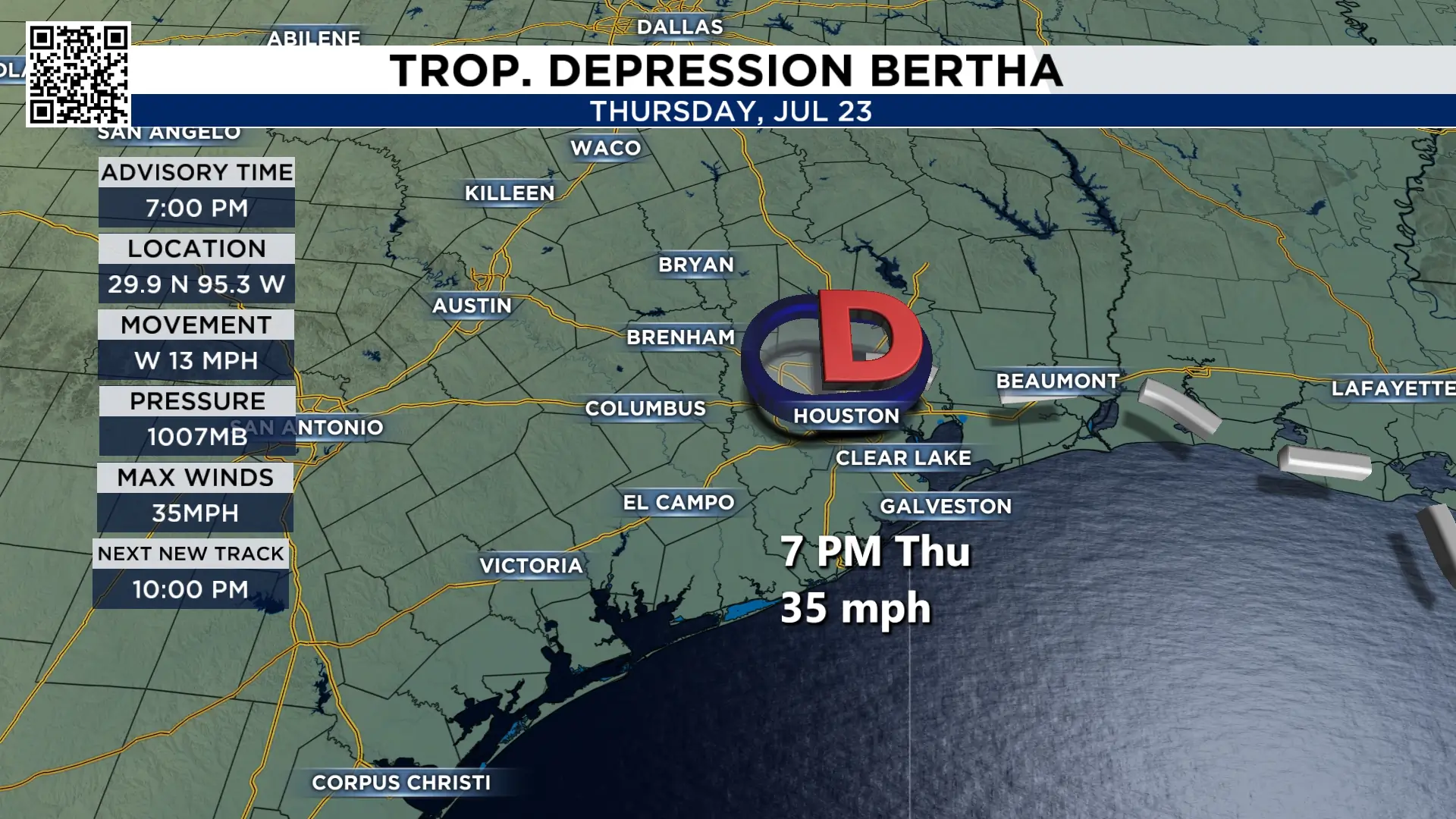
What is left of Bertha is moving through the Houston area Thursday night. As it got close earlier today it brought flooding rains cities like Missouri City, Sugar Land and Cypress.

Try to remember this storm. The name Bertha won’t be used again for another six years, and by then most of us will have forgotten just how unusual it was.
Unlike Arthur, which tracked from west to east along the Southeast Texas coastline, Bertha moved east to west and passed right through Houston. Two named storms this hurricane season and both have affected Southeast Texas.
Bertha was an odd storm from the beginning. The combination of land interaction, dry air, and wind shear kept it from strengthening beyond a 60 mph tropical storm. Its elongated, asymmetrical structure gave it a disorganized appearance, with the heaviest rain and strongest winds were consistently well south and southwest of the center.
That changed once the storm reached the Houston area.
Rainfall intensified quickly, with 2 to 4 inches falling in just one hour across parts of Sugar Land and Missouri City, causing significant street flooding. Other communities also picked up around 2 inches in an hour, leading to additional flooding issues.
Bertha will continue moving west overnight and weaken into a remnant low by Friday morning, ending its impacts on Southeast Texas.
So far this hurricane season, we’ve had two named storms and both have made a small mark on Southeast Texas.
KPRC 2’s 2026 Hurricane & Flood Survival Guide

More Stories Like This In Our Email Newsletter
