

Tuesday overnight:
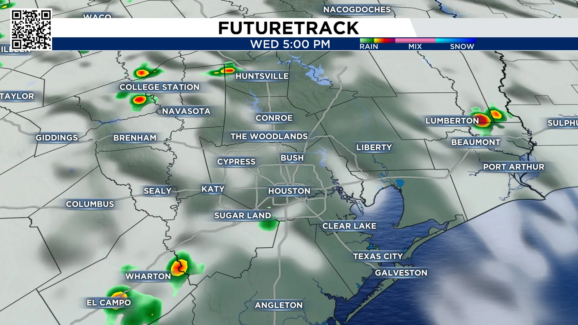
Most of us missed out on the rain Tuesday afternoon and evening, as showers and pop storms strayed around our central counties. The continued model trend also decreases activity for Wednesday, but does maintain a few stray pop-ups.
Following the weak frontal boundary, some slightly drier air will infiltrate the region Thursday!

Tracking the tropics:
Storm development chances in the Gulf are still very slim, however, we now have Tropical Storm Fay, recently formed in the north-central Atlantic. Fay is a fish storm and will remain out in the open Atlantic.

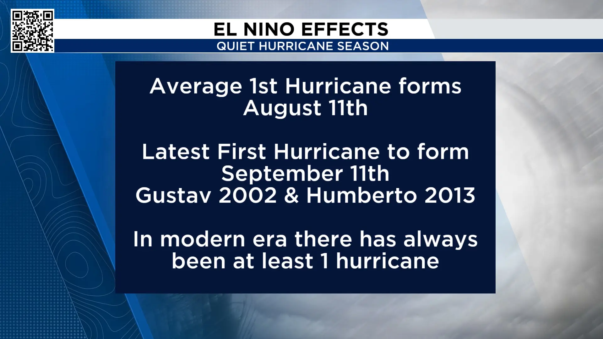
So far this hurricane season, we have not had a hurricane form in the Atlantic basin. The latest first hurricane to form was Gustav and Humberto, which formed on September 11th. This means our 2026 hurricane season set a record for the latest hurricane to form.
Extended forecast:
There is no big cool down in the forecast. There are periods of dry air, but highs are in the 90s for the next 10-days. No significant cool down is on the map for now. Long-range models do want to bring a stronger push of cooler air (maybe our first real fall front? by the first few days of October), but nothing definitive at this time.


More Stories Like This In Our Email Newsletter

