

Live radar:
It’s been an active Sunday on our live Storm Tracker 2 radar. The storms will die out tonight but more rain is expected on Labor Day.

Monday’s Labor Day forecast:
Stay weather aware today because more rain is coming. We’ll again get showers and thunderstorms scattered throughout southeast Texas. I’m going with a 30% chance of afternoon thunderstorms in Houston. Rain will start along the coast in the morning.

Tracking the tropics:
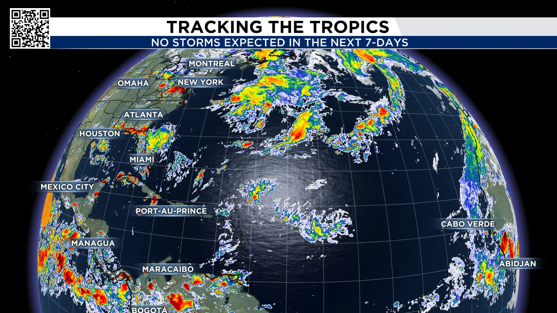
The Atlantic is quiet with no tropical development expected in the next seven days. Did you know this is the third year in a row the tropics don’t have a named storm during the Labor Day weekend. This hasn’t happened since the 1930s! The peak of the hurricane season is September 11th and 12th.
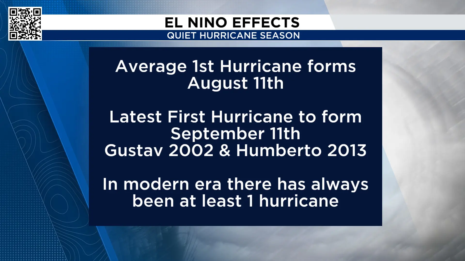
So far this hurricane season, we have not had a hurricane form in the Atlantic basin. The latest first hurricane to form was Gustav and Humberto, which formed on September 11th. In the modern era, there has always been at least one hurricane to form.
Meanwhile in the Pacific:
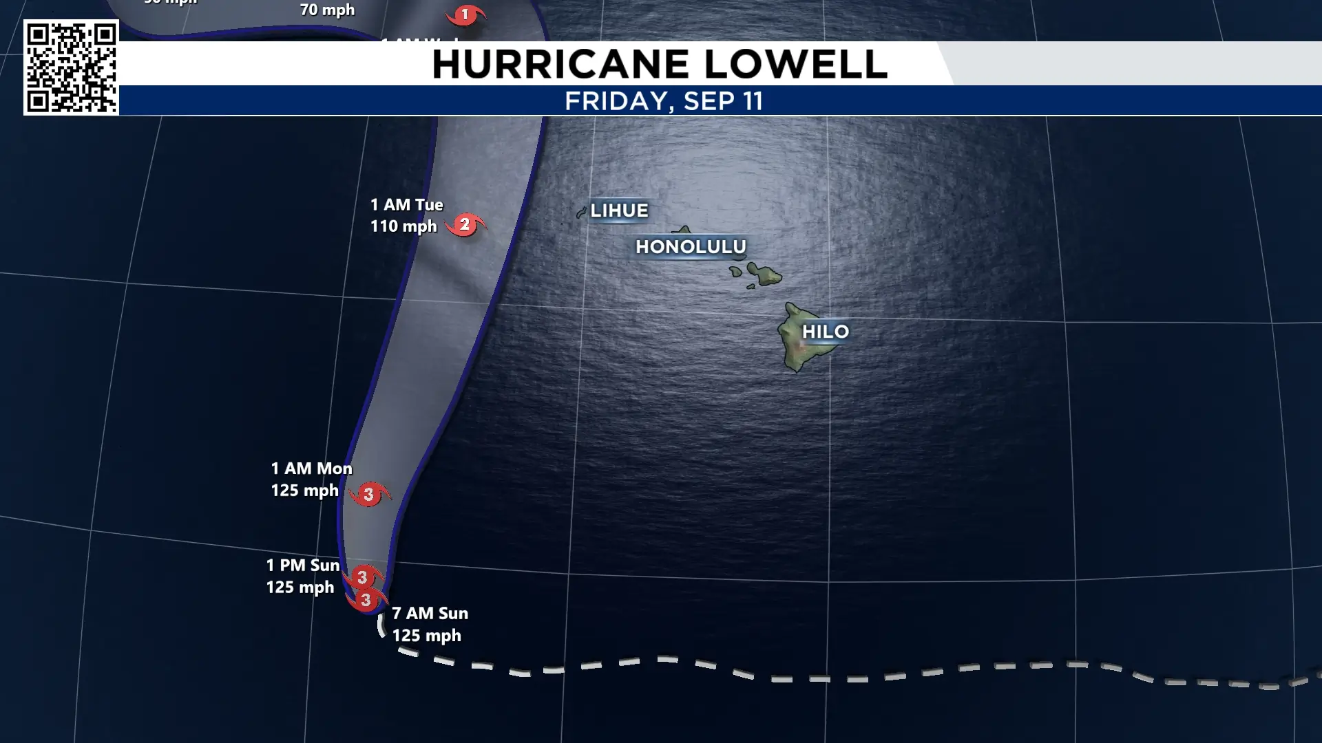
The exceptionally strong El Niño has created near-ideal conditions for tropical development across the Pacific. Currently, there is Category 3 Lowell, tropical storm Karina, and category one hurricane Maria.
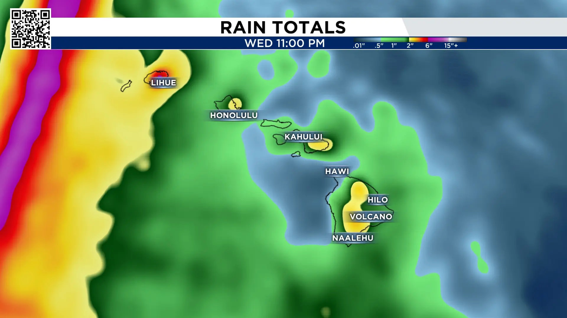
Lowell will track west of the Hawaiian Islands bringing dangerous strong surf conditions, 2″-6″ of rain and tropical storms force winds in Kauai.

Extended forecast:
With no high pressure around, temperatures will be near average for this time of year, and sea breeze storms are possible nearly every day through the end of the week.


More Stories Like This In Our Email Newsletter
