

HOUSTON – Rain! Yes rain, is back in the forecast for your Thursday. We started off Thursday on a mostly dry note with just a few passing showers but rain should become a bit more scattered as we head into the second half of your day.
Overall, we are looking at a 40% chance of rain so not a washout but a few of us should walk away with some much needed rainfall.
Rain timeline
Through noon: Mostly dry with partly to mostly cloudy skies
Mid-afternoon: Isolated showers and storms begin to pop... Likely favoring areas south of I-10
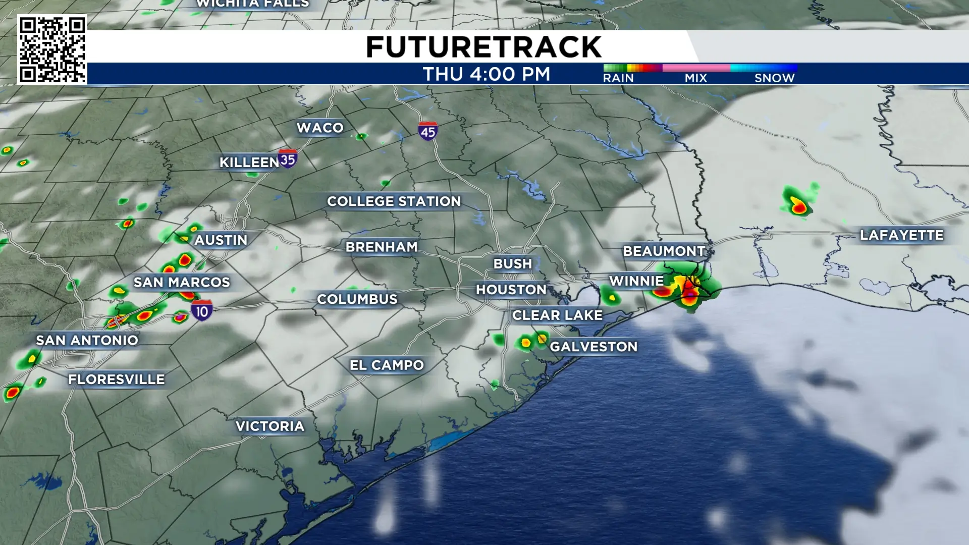
Evening commute: Storms become a bit more scattered and could impact areas near I-10 as you are trying to get home for the evening.

Mid to late evening: Scattered storms become more on the isolated side but could hang around even through midnight.

**There is a chance for a couple of isolated strong to severe storms today with wind gusts up to 60 mph being the main threat.
Other threats include small hail, heavy rain, and lightning. Make sure you stay weather aware and head indoors if you hear thunder.
